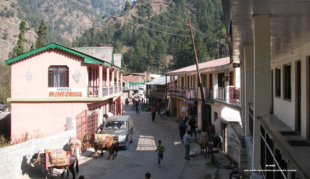
Places around Bageshwar
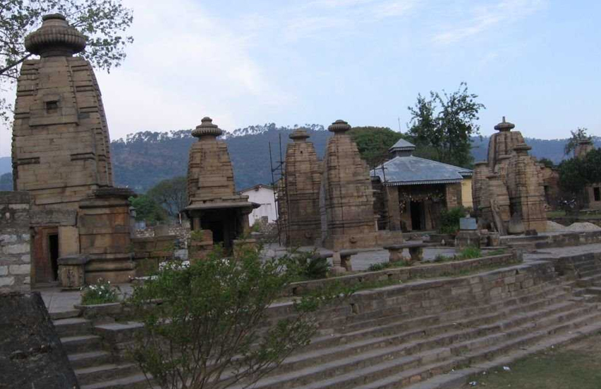
There are many places of tourism and historic importance in Bageshwar. There are many old temples dating back to tenth century. Among them are the Baijnath temple and Bagnath temple; the latter is situated in the middle of the town just across the confluence of Saryu and Gomti. Chandika and Neeleshwar temples are other important temples in the district. kakara and kholi village are the beautiful villages in bageshwar These are on the top of the city (hills) and provide a nice glimpse of the city.
Other important shrines in and around Bageshwar are – Haru mandir kakara and gopeshwar mandir , Ram Ghat temple, Agnikund temple, Kukuda Mai temple, Shitla Devi temple, Trijugi Narayan temple, Hanuman temple, Nileshwar Dham, Swarg Ashram, Ramji temple, Loknath Ashram, Ashram of Amitji, Jwala Devi temple, Veni Mahadev temple, Radha Krishna temple, Bhileshwar Dham, Suraj Kund, Siddartha Dham, Gopeshwar Dham, Golu temple and Praktishwar Mahadev.
Kanda 25 km (16 mi): The charming site on Bageshwar Chaukori road near the ancient temple of Bhadra Kali temple is a nature lover’s delight. Another sacred site, Pandusthal, said to be the legendary battle ground of the Kaurvas and Pandavas, is near Kanda.
Vijaypur 30 km (19 mi): It affords a panoramic view of the snow-clad Himalayan peaks.
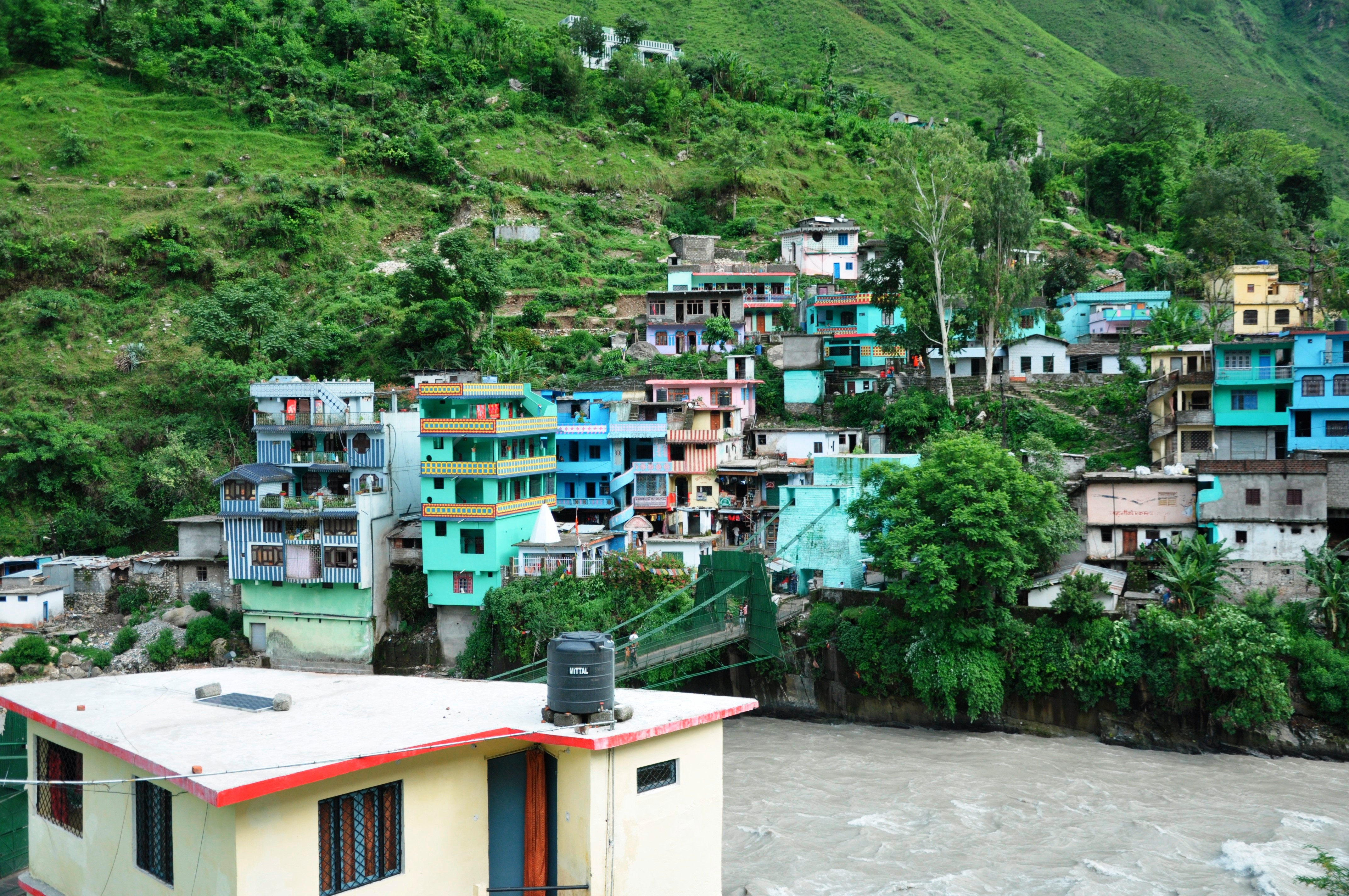
Baijnath, Uttarakhand 26 km (16 mi): This historical and pilgrimage site on Gwaldam motor road is set on the banks of river Gomti in Katyuri valley. It was once the capital of Katyuri dynasty and the ancient temples here stand in testimony of the erstwhile era. The ancient Shiva temple here is famous for the magnificent idol of Goddess Parvati. Another important shrine is the Kotkimai temple, 8 km (5.0 mi) from here.
Pindari Glacier
This world famous glacier is situated in the Pinder Valley at an altitude of 3,353 m (11,001 ft) between the Nanda Devi and Nanda Kot mountains. The glacier is a trekker’s paradise, as it is one of the most easily accessible of all the Himalayan glaciers. The rugged beauty of the glacier presents an aweinspiring site. The glacier is 5 km (3.1 mi) long, the snout is about 6m high and 2.5m wide and above the snout, the glacier extends for about 3 km (1.9 mi) in length and 300 to 400m in width, between an altitudinal range of about 3600m to 5000m. The colour of Pindari Glacier is very white and Pinder river emerging from it is a sight to behold.
Pindari Glacier Trek: The base camp is at Song which can be reached by road from Bageshwar 36 km (22 mi), Almora 109 km (68 mi), and Kathgodam 199 km (124 mi). After that one has to trek 45 km (28 mi) up to zero point (Pindari Glacier). Song to Loharkhet – 3 km trek
Loharkhet to Dhakuri – 11 km
Dhakuri to Khati – 8 km
Khati to Dwali – 11 km
Dwali to Phurkia – 7 km
Phurkia to Pindari Glacier – 5 km
Sunderdhunga Glacier
Sunderdhunga or the ‘valley of beautiful stones’ is also located in the Pindar region. The glacier offers a tough trek as compared to Pindari and Kaphini. There are two glacier for trekkers and nature lovers, namely Maiktoli and Sukhram. The route up to village Khati is common for both Pindari and Sunderdhunga glacier.
Sunderdhunga Glacier Trek: The trek length is 54 km (34 mi) from Base Camp at Song.
Song to Loharkhet – 3 km Loharkhet to Dhakuri – 11 km
Dhakuri to Kathi – 8 km
Kathi to Sundarrfhunga Glacier – 30 km